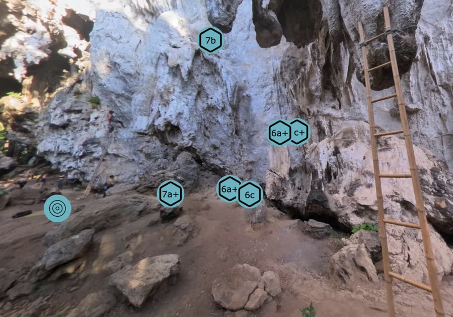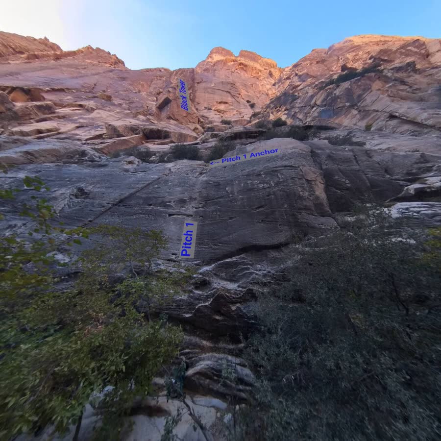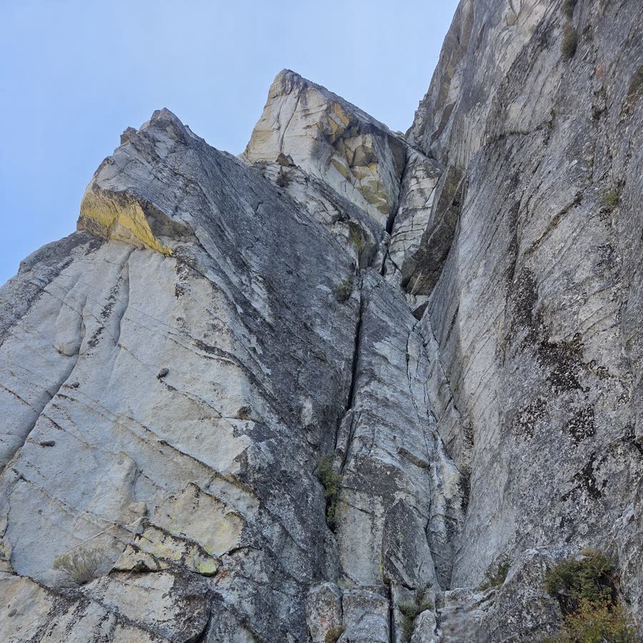
Explore in 360°
Look around the route before you climb it.
Topo360 turns route reconnaissance into a spatial experience. Preview route starts, pitches and belay stations in immersive 360° — then download the tour before you leave cell service.


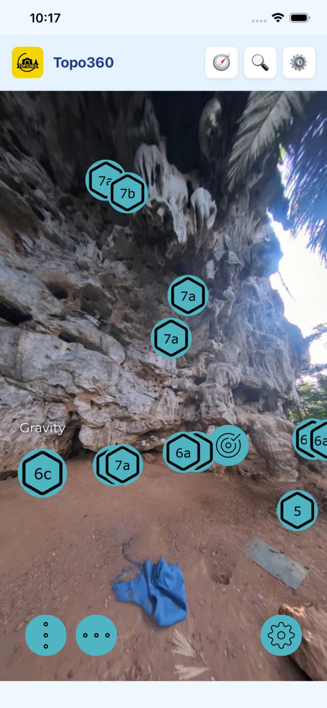
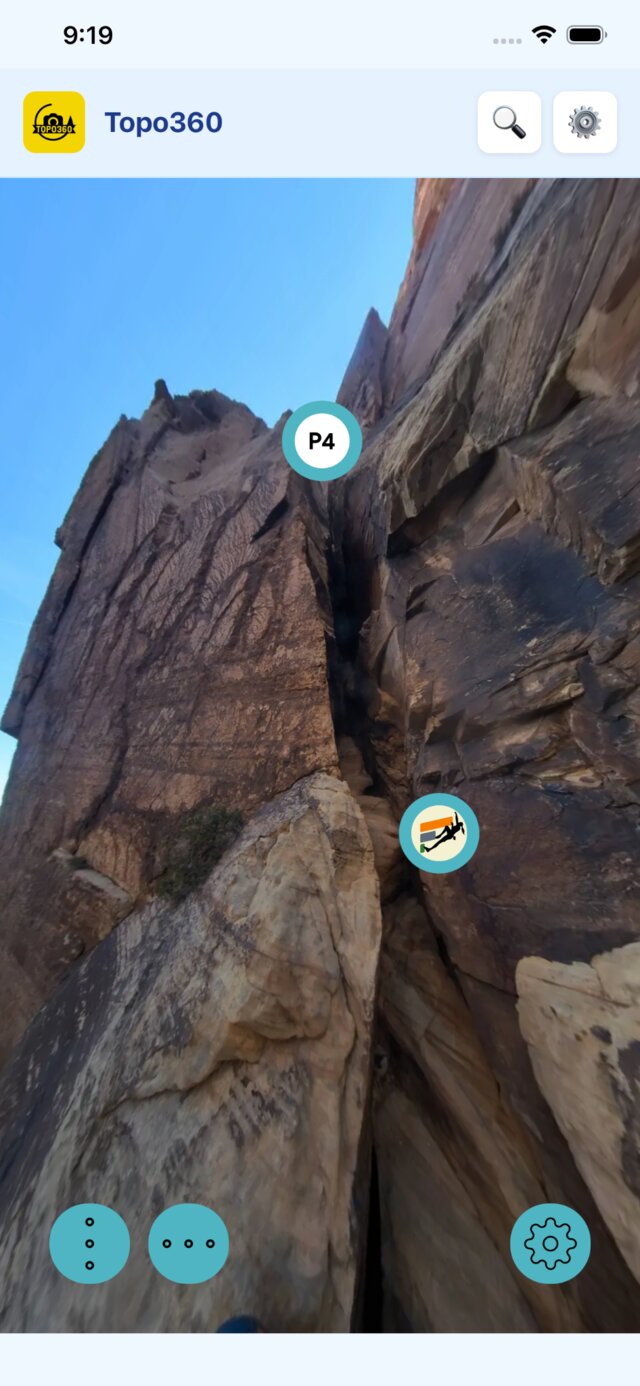
Look around the route before you climb it.
Route lines, anchors and belay stations marked.
Download tours before you lose signal.
Made from real routes, by real climbers.
Pan around the route, tap a pitch marker for details, and get oriented before your first move off the ground.
Topo360 is built for spotty service and last-minute plans. Do the research on wifi, then go climb.
Search or browse routes with 360° coverage.
Look around the wall, pitch by pitch, before you climb.
Save the tour for offline use before leaving service.
Reference pitches, anchors and rappels from the trail.
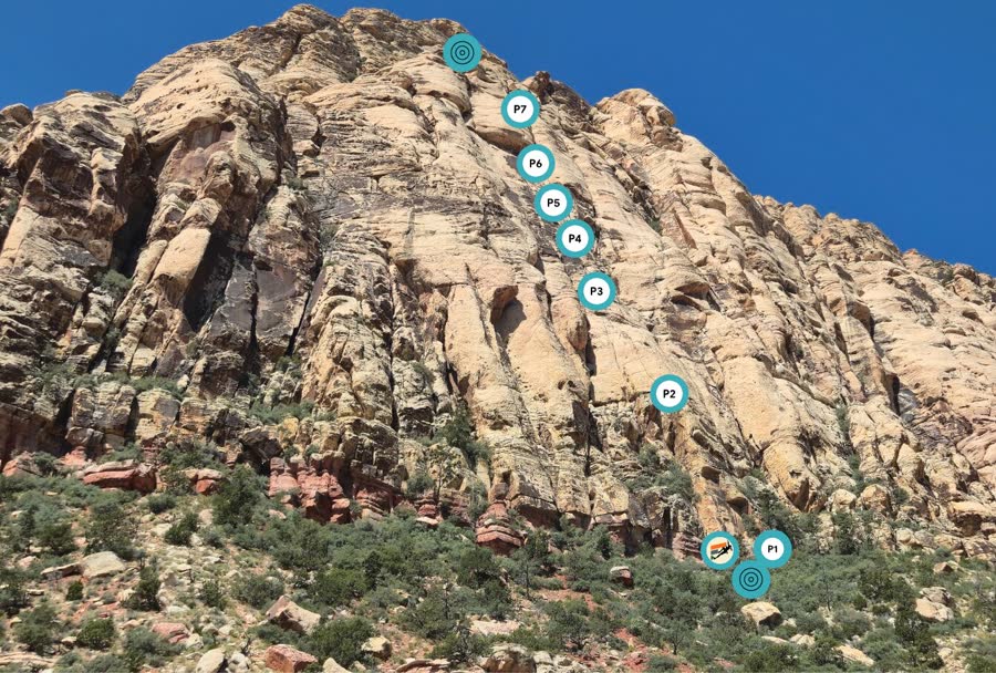
Topo360's interactive 360° tours live in the onBelay online library — hundreds of routes across Red Rocks, Tahoe, Krabi, Squamish and more, ready to explore from any browser.
Explore Online 360° Topos →A sample of the routes mapped in 360° — the full library is on onBelay.
Free to download. Explore in 360° on wifi, then take the tour with you into the backcountry.